
1 October 2026 —
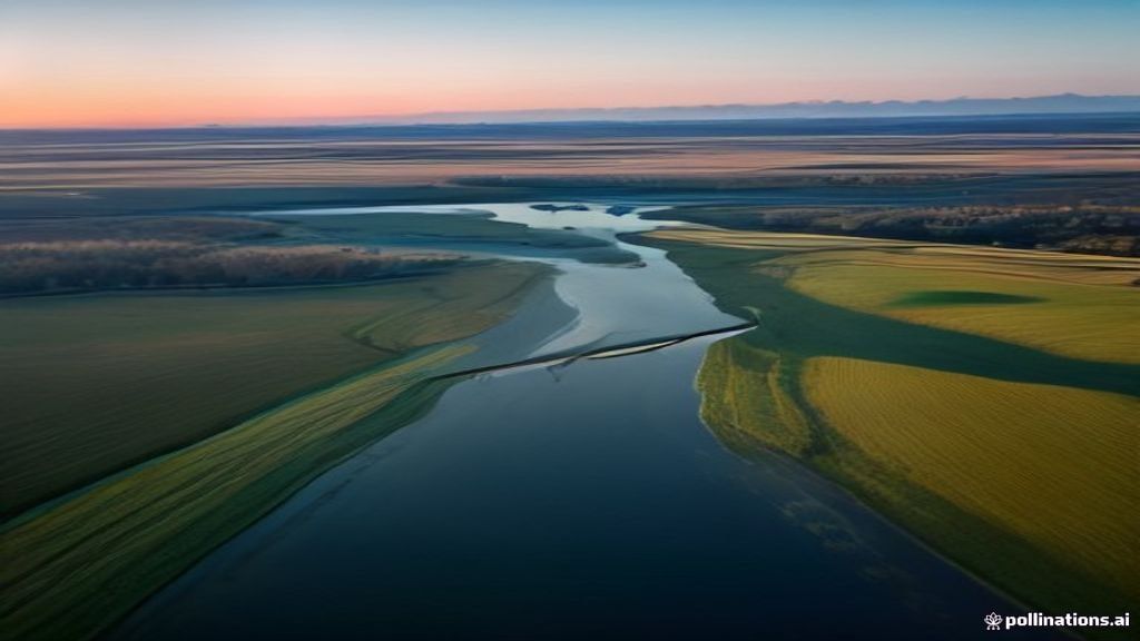
Researchers in New Mexico have successfully deployed AI bird counting technology to track migratory waterfowl and cranes using high-resolution imagery captured by unmanned aerial vehicles. Early field assessments demonstrate that the artificial intelligence model achieves a remarkable 95 percent detection accuracy, marking a major leap forward for ecological monitoring and regional wildlife management.
Traditional methods of surveying avian populations historically relied on visual estimates conducted by human observers from low-flying light aircraft or ground-based observation posts. These conventional practices not only required immense manual effort and financial expenditure, but they also introduced considerable potential for human error and species misidentification. Furthermore, low-altitude manned flights frequently disturbed sensitive wildlife habitats, causing birds to flush prematurely and distorting overall count accuracy.
By integrating high-definition drone photography with deep learning algorithms, scientists can now seamlessly map expansive wetland and riverine environments. The system processes thousands of high-resolution aerial photographs, scanning vast areas in a fraction of the time required by traditional methods. What previously took teams of biological analysts several weeks to manually tally can now be computed automatically within hours, dramatically streamlining data processing workflows.
The artificial intelligence model was carefully trained on extensive image datasets featuring complex clusters of migratory species, such as ducks, Canada geese, and sandhill cranes. The computer vision network learns to differentiate subtle morphological characteristics, plumage variations, and flock density configurations. This enables the software to pinpoint individual birds accurately, even when flocks assemble in dense, overlapping roosts amidst complex environmental backgrounds.
Conservation experts highlight that precise population metrics are essential for establishing sustainable natural resource policies, detecting habitat degradation, and assessing climate change impacts on migratory corridors. The high accuracy rate shown in these early trials indicates that autonomous aerial survey platforms could soon be widely adopted by regional and national wildlife management authorities across North America.
Looking ahead, researchers intend to further refine the machine learning framework to improve automated species classification and enable real-time image processing directly on onboard drone systems. As sensor quality improves and algorithms become more sophisticated, this technological milestone represents a major shift toward automated, non-invasive biodiversity assessment globally.
Useful links
Tourism & Management · Citizen Responsibility · Skill Services · Ramesh Poudel
Published with WpNewblog — www.rameshpoudel.com
About the Author